Bible, History, Archaeology
History,
Archaeology
Home >
The Ophel
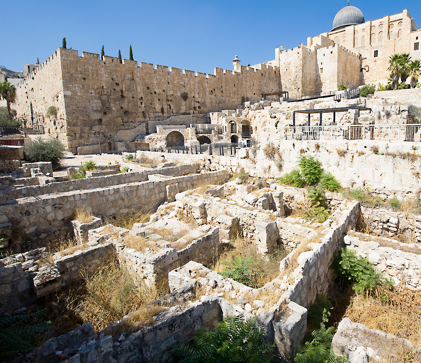
A view of the Ophel (detail)
Ophel is a hill south of the Temple Mount in Jerusalem. It is notably occupied by the ruins of the City of David. The hill lies in the middle of limestone heights some 700 meters above sea level. It forms a long, narrow, rounded promontory, a sort of peninsula on the southern slope of Jerusalem's Temple Mount, between the Tyropoeon (a valley now filled in) to the west and the Kidron Valley to the east. The long, narrow ridge between Ophel and Mount Zion was a natural defensive site.
Image opposite: a view of the Ophel (detail) today. The dome of the Al-Aqsa mosque can be seen at top right. © Robert Hoetink.
To view the Ophel image, click on the picture.

Ophel, also called «primitive Zion», or «city of David», was the ancient Canaanite acropolis. David had the Ark of the Covenant transported there (2 Samuel 6,10-12). Later, King Solomon brought the Ark of the Covenant back to the Temple that bears his name on the Temple Mount (1 Kings 8,1).
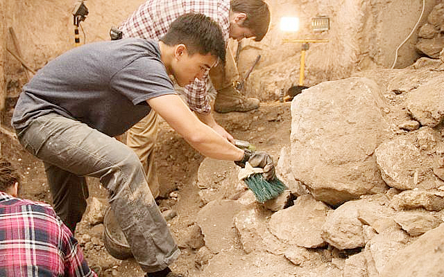
Image opposite: Students from Herbert W. Armstrong College take part in Dr. Eilat Mazar's excavations at Ophel, Jerusalem. Eilat Mazar.
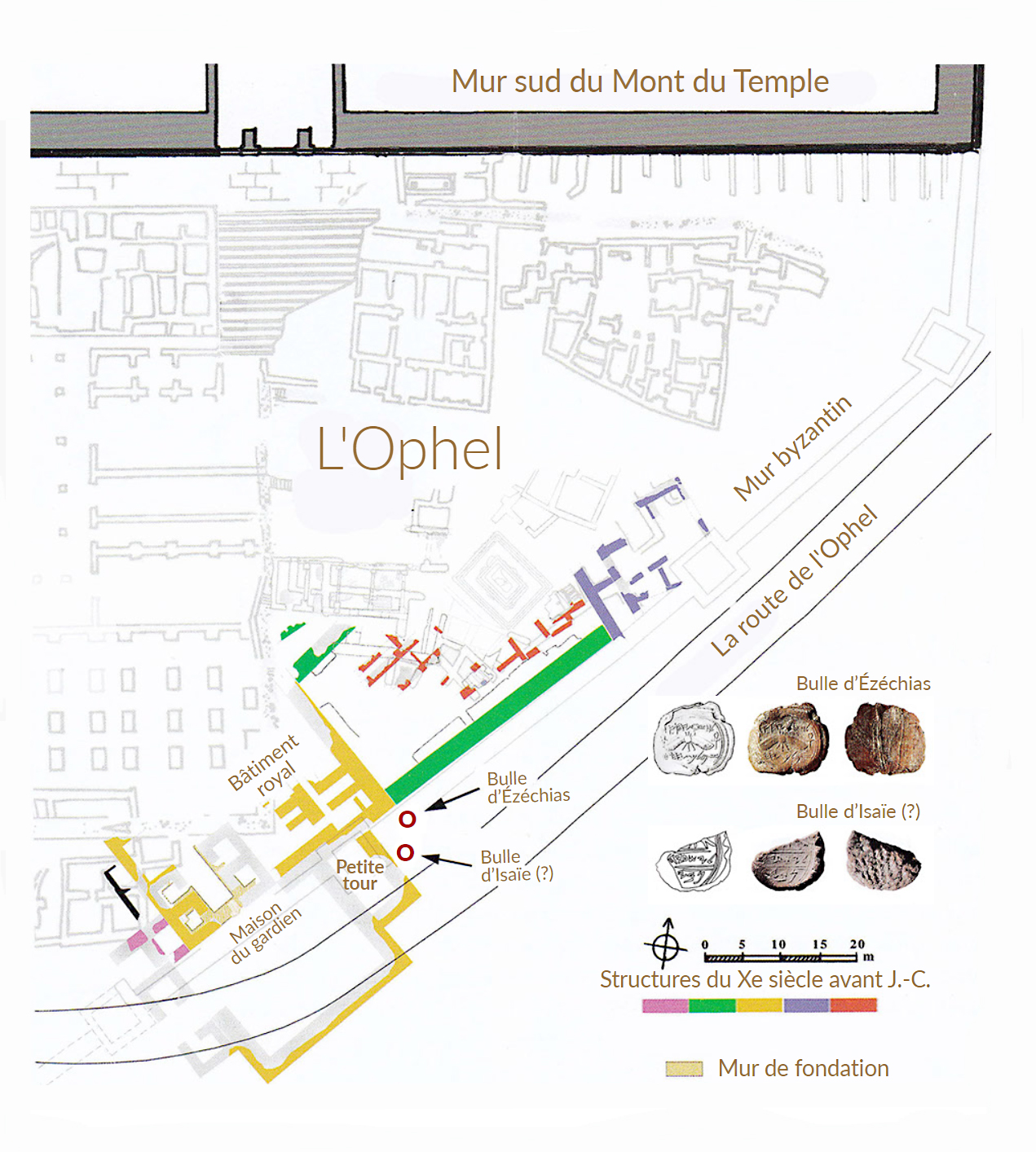
Plan below: Solomon's fortifications, including the royal quarter and the site of the discovery.
seal impressions king Hezekiah and the prophet Isaiah (?).
Below: to view the seal pages:
- the prophet Isaiah (or Isaiah) →


